Research
Some Old belper Names
From the Mary Smedley Papers donated to the society shortly before her death in 2020.
Piggy Hill
This is the short path from Bridge Street to Cluster Road, so called because Ryde’s pork butchers shop was here on Bridge Street with a slaughter house behind. An early reference to this area calls it Glews Yard but for much of its existence it has been known as St. George’s Place.
Cow Hill
One of the oldest parts of Belper. It was a nail making area, re-named Hillside Rise in the 1960s.
The Gutter
Now the Short Street area; Marsh Lane and Top Common were marshy ground and were drained down into this area, which fed into the Coppice Brook.
Chapel Hollow
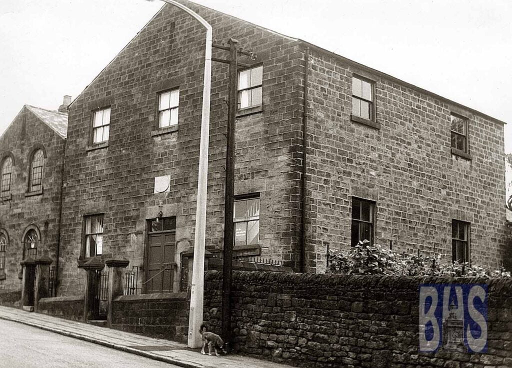
This is now called St John’s Road. Topside of St John’s Chapel, which is the oldest building in Belper. It was dedicated to St. Thomas before the reformation

Field Head
Now part of Chesterfield Road, below Swinney Lane, it was the top of the Hutfall or town field.
Gorsey Hundred
This was the top part of Chesterfield Road. This area was noted for its notorious counterfeiting gang.
Edge Row
Now the lower part of Mill Street, this name (sometimes written as Hedge Row) was given to the houses built here as it was the edge of the Hutfall or town field
Jacob’s Ladder
This is a steep path and steps leading from Nottingham Road down to the Coppice Brook and recreation ground at the bottom of Mill Lane/Parkside. There used to be a well here called Jacob’s Well and was one of only two original well dressings in Belper prior to 1839.

Kiln Lane
This roadway passed by the cottages that now form the left side going down Parkside and led to the drying kiln for the grain that was ground at the mill at the bottom of the hill, powered by the Coppice Brook.
Lady Well
This was situated in the Parks, below the stile into Mill Lane; it was noted for its purity. It was capped and now is part of the water provision for Belper by the Water Board.
Top Common
Now Nottingham Road/Spencer Road/ Marsh Lane area this provided common grazing for cattle and sheep belonging to people in Belper.
The Chevin
Across the River Derwent on the western side of Belper this hill overlooks Belper. It is the first of the foothills of the Pennine Way. Before the enclosures it was an area of common land.
